[Edit: July 4 2024]
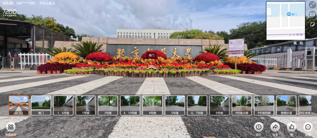
BFU campus (北林校园)
- Street landscape (panorama view ) of whole Beijing Forestry University campus (北林校园全景街景在线浏览): https://www.720yun.com/vr/361jtsmfuv9
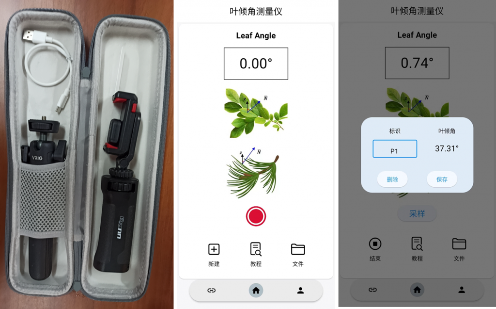
Hardware (硬件研发)
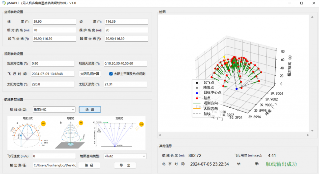
Software (软件研发)
Data (数据分享)
- A series of UAV RGB datasets accompanying with field photography, UAV LiDAR data over forest plantations in Saihanba National Forest Park in Chengde, North China is free to share, please contact me.
Code (代码分享)
- An image segmentation algorithm named HAGFVC for crop canopy cover estimation from UAV RGB imagery. [Code] [HTML]
- A pixel unmixing algorithm named CMA for crop canopy cover estimation from UAV RGB imagery. [Code] [HTML]
- A self-supervised deep learning method named 3SCNN for forest crown cover estimation from UAV RGB imagery. [Code] [HTML]