December
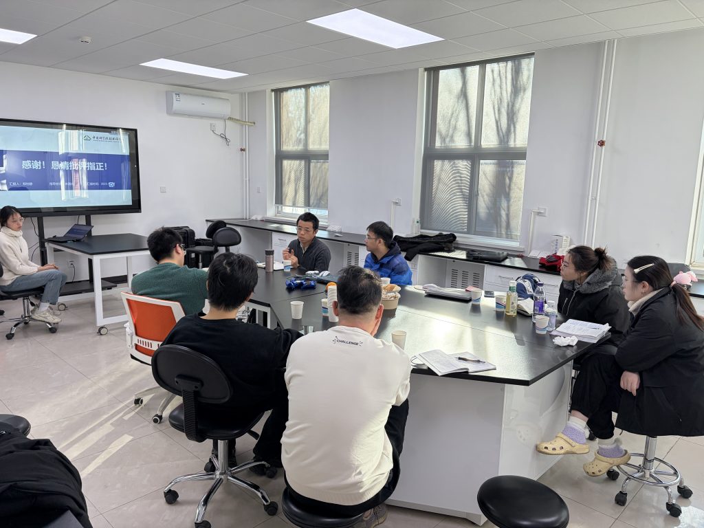
Prof. Xiangcheng Mi (米湘成) from the Institute of Botany, Chinese Academy of Sciences, visited our research team and conducted the annual joint group meeting. Discussions focused on topics such as forest competition, structural-spectral diversity, species identification, and understory variable retrieval.
I have passed the selection process for PhD supervisors and am now a doctoral advisor.
November
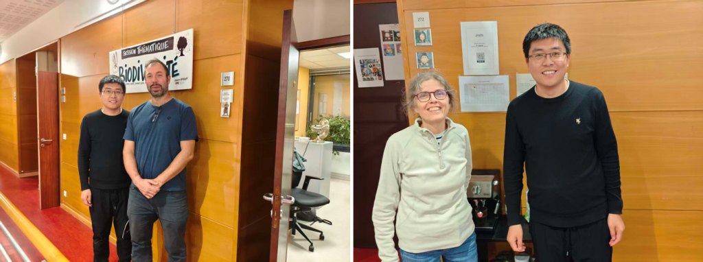
After one-month academic exchange in TETIS, I say “au revoir” to Dr. Jean-Baptiste Feret and other French scholars. What a very impressive stay in Montpellier.
October
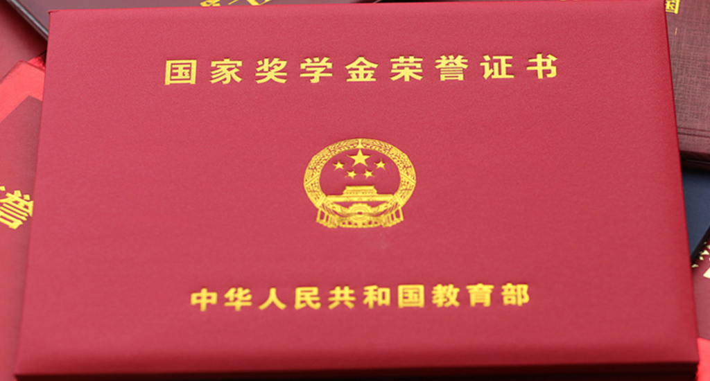
Congratulations to Miss. Yuehan Liu (刘玥含). She was awared by the national scholarship because of her efforts on airborne multi-angular observation, BRDF characterization and angular normalization.
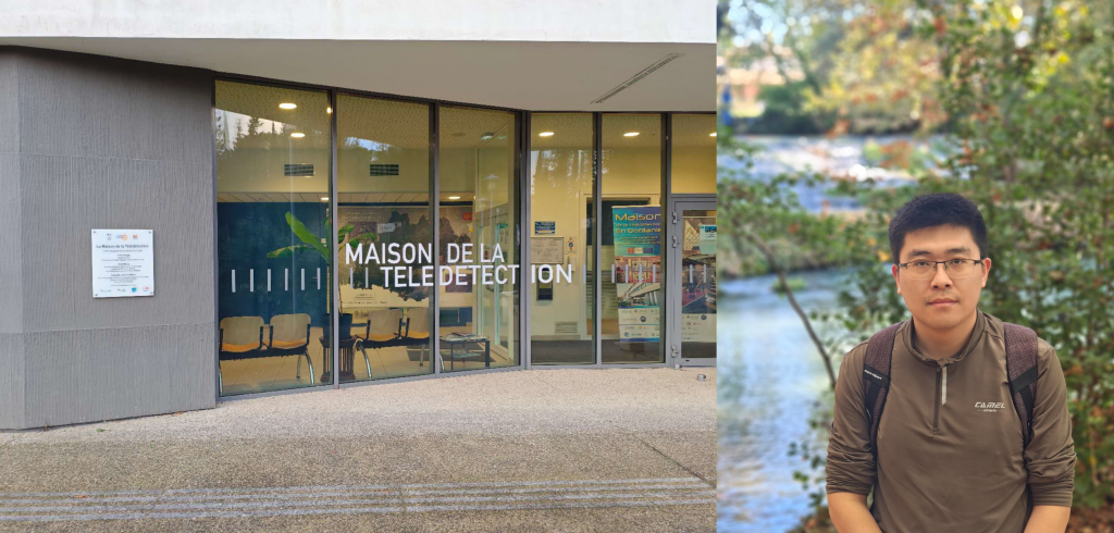
During the stay in France, I went to CESBIO (Centre d’Études Spatiales de la BIOsphère) to have a discussion with Yingjie WANG and several French scholars aout ultra-high-resolution retrieval of plant variables.
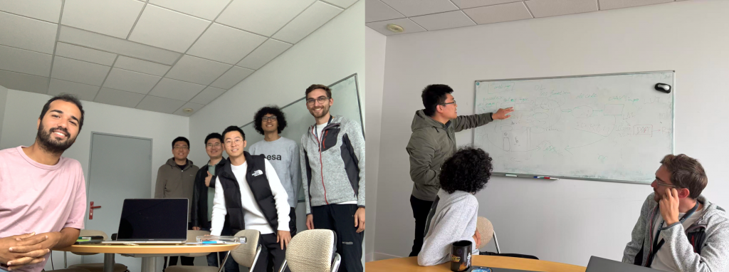
Invited by Dr. Jean-Baptiste Feret, I, as a visiting scholar, go to TETIS (a joint unit of INRAe, CNRS, CIRAD, ArgoParisTech for Land, Environment, Remote Sensing and Spatial Information) located in Montpellier, France, for academic exchange for one month.
September
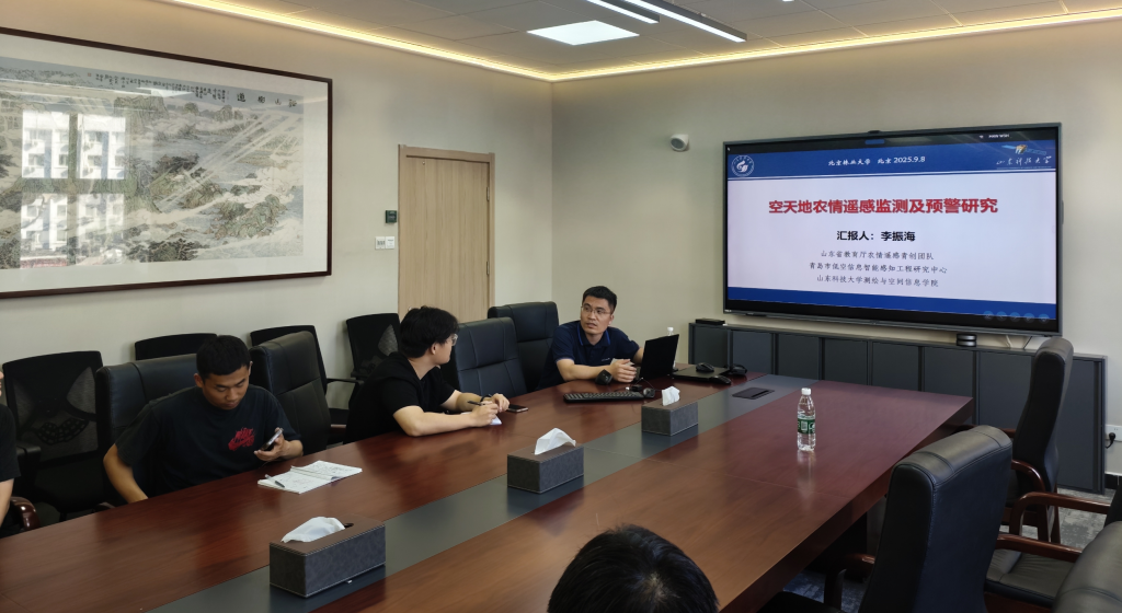
We invited Prof. Zhenhai LI from Shandong University of Science and Technology to make a presentation about agricultural monitoring using remote sensing techniques.
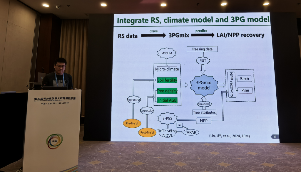
I attended the 5th international forum on big data for sustainable development goals (FBAS) held in Beijing, Sep 6-8th, and made a presentation about post-fire forest damage assessment and recovery prediction using remote sensing techniques and models.
Welcome three newbies (Mr. Xing WANG (王兴), Mr. Minghao SUI (隋明昊), Miss. Xiaoyan LIU (刘晓燕))to join our team. Hope you have a good journey in the coming three years!

August
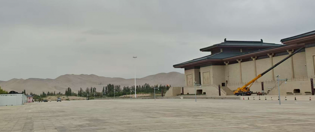
I made a special invitation presentation about low-altitude UAV remote sensing of forestry at the 2025 International Symposium of Space Optical Instrument and Application (空间光学仪器与应用国际研讨会) held in Dunhuang, China.
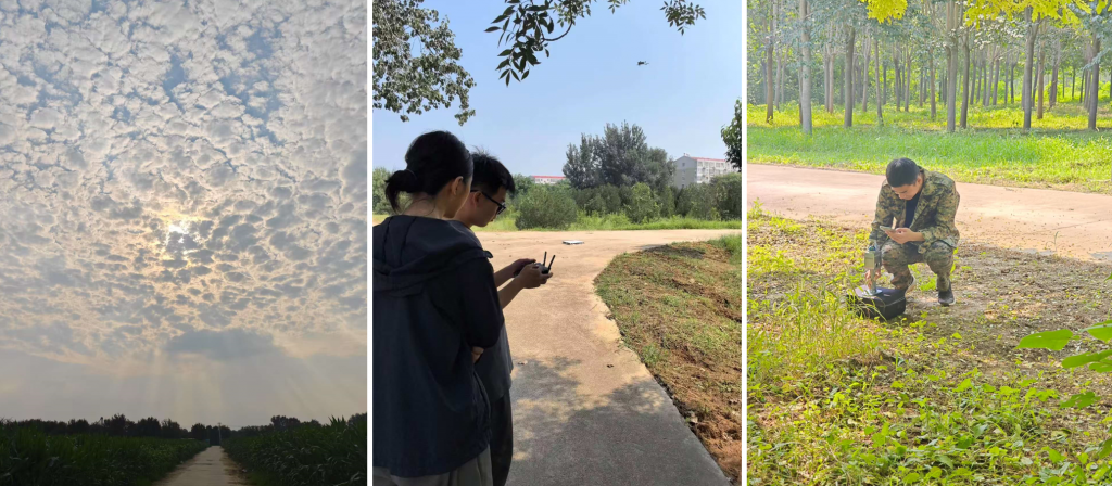
We conducted a field experiment in Yixian, Hebei province, to collect UAV data and ground-based measurements under varying illumination conditions.
July
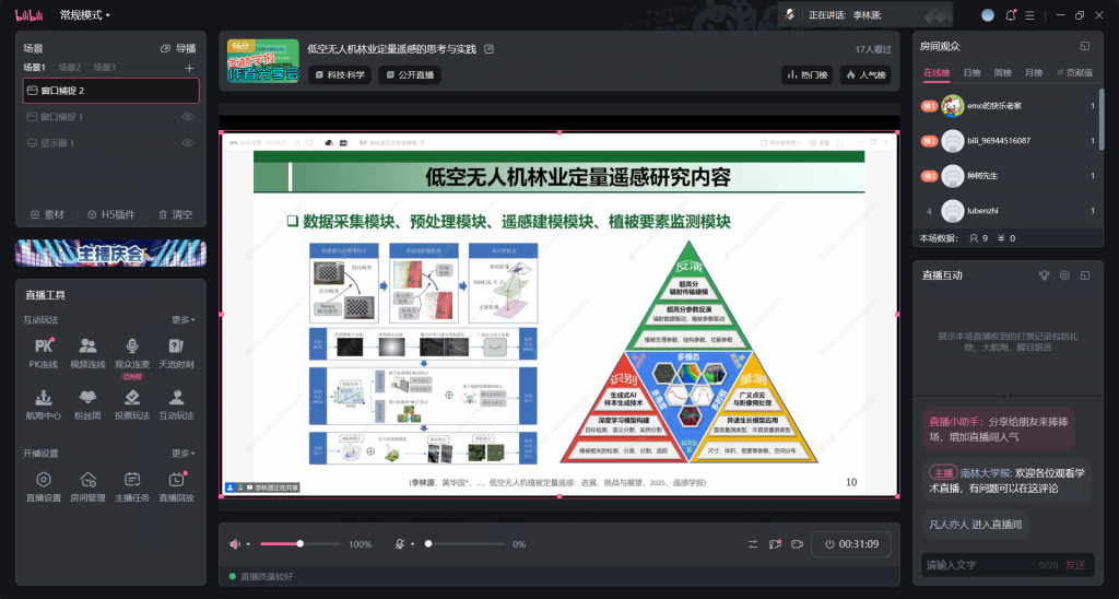
Invited by the Journal of Nanjing Forestry University (南京林业大学学报), I made an online presentation about low-altitude UAV-based quantitative remote sensing of forestry: thinking and practices on July 27. Over 8300 views were achieved, indicating its value in the remote sensing and forestry scientific and industrial communities.
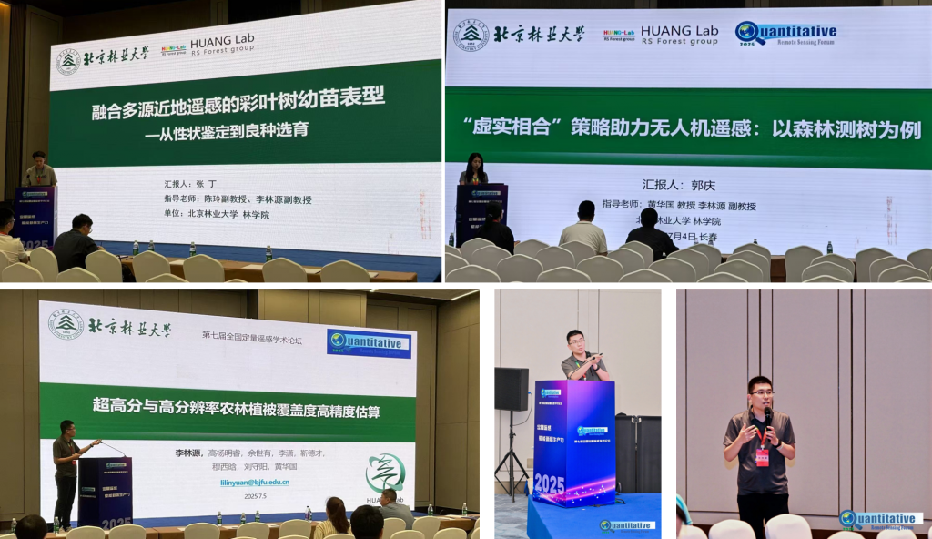
In July 3-6, many members of our team attended the 7th Chinese Quantitative Remote Sensing Forum (全国定量遥感论坛) held in Changchun. Two student members made oral presentations, and Mr. Ding ZHANG was awarded the excellent student presentation. I introduced the recent advances achieved by our team in different sessions.
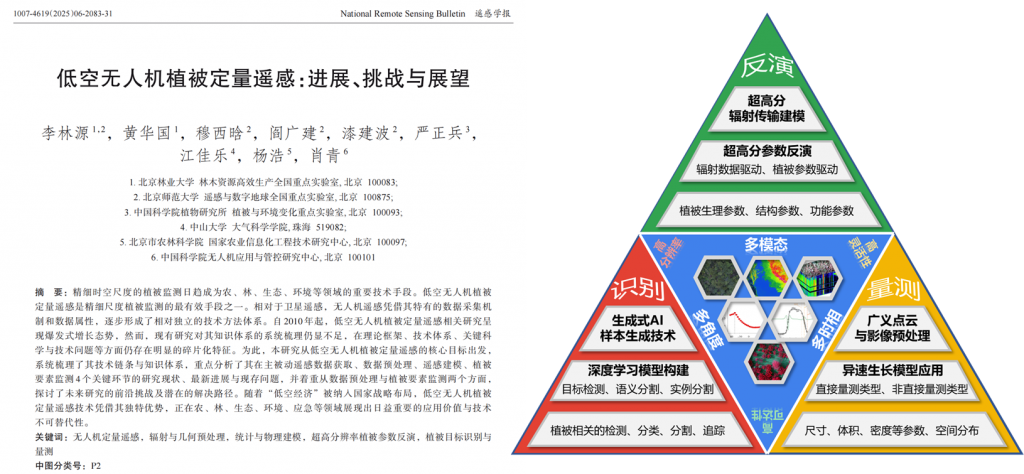
We published a review paper (in Chinese) about low-altitude UAV-based remote sensing of vegetation in the National Remote Sensing Bulletin (遥感学报), with collaborations with other scholars from several institutes. This paper introduces the scope of UAV quantitative remote sensing of vegetation and summarizes current advances of passive and active remote sensing data acquisition, radiometric and geometric processing of imagery and LiDAR data, physically and empirically-based modelling, monitoring of vegetation variables (including recognition, retrieval, and measurements). We also discussed the challenges and prospects in the foreseeable future.
June
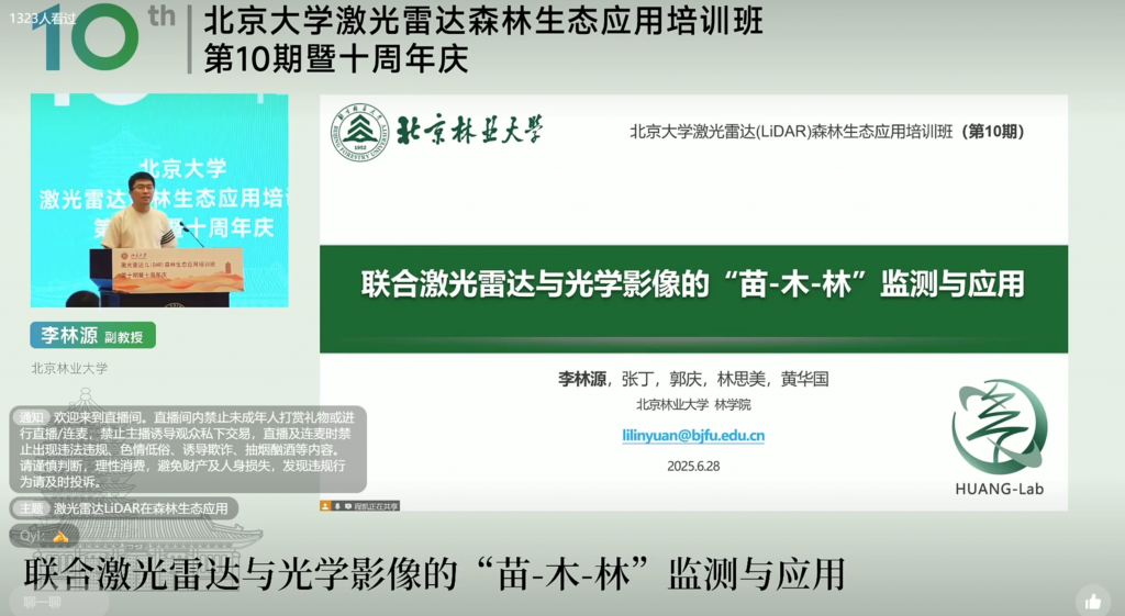
I was invited to make a presentation titled “Integrating LiDAR and optical imagery to monitor seedlings, trees, and forests at corresponding scales” at the 10th workshop on LiDAR remote sensing of forest ecology.
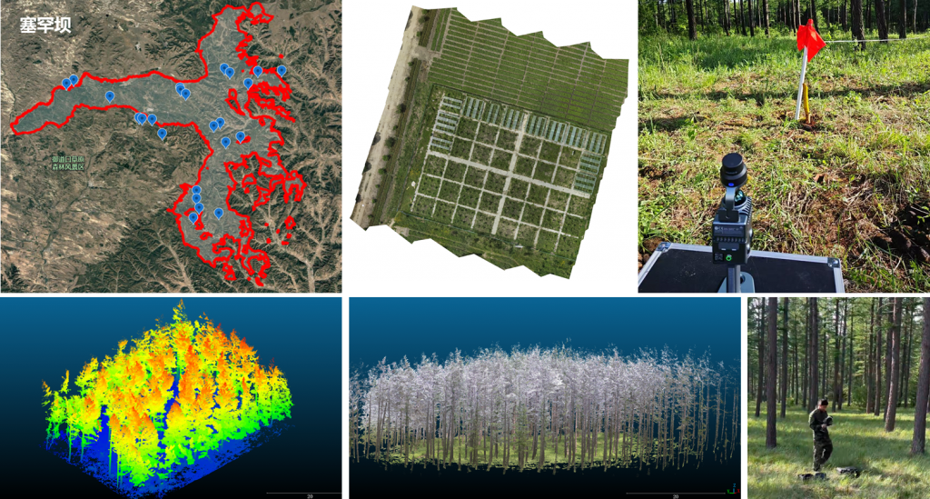
We conducted a field experiment in Saihanba (塞罕坝) National Forest Park to obtain LiDAR point cloud of dozens of forest plots, which characterizes variability in forest age, slope, and height above sea. Multispectral UAV imagery was also obtained for each plot as the complementary data from nadir view.
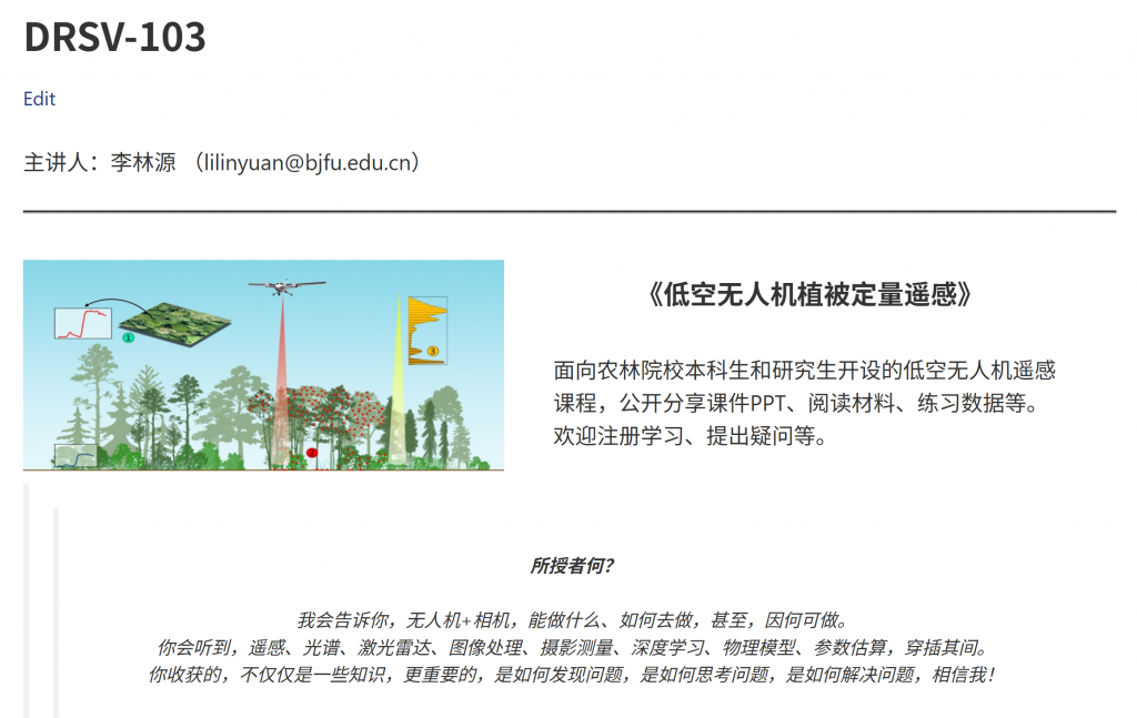
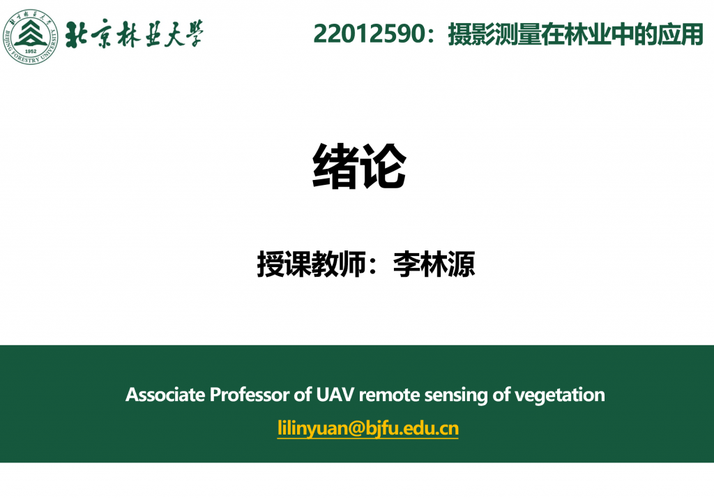
All slides (in Chinese) of a UAV remote sensing of vegetation-related course (Name: low-altitude UAV quantitative remote sensing of vegetation; Abbreviation: DRSV-103) were disclosed for everyone who wants to learn. Exercises and some example data were also made available to the public. You may find these slides in the course menu in this website.
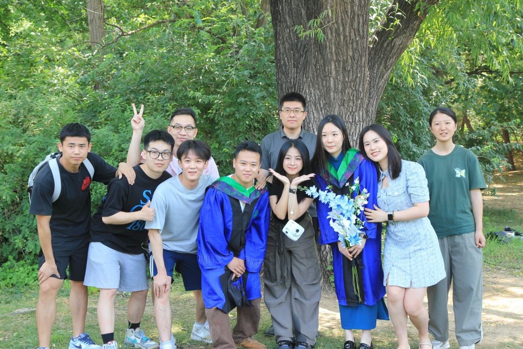
We took a group photo in the season of graduation. Many thanks to Prof. Huaguo HUANG and Prof. Ling CHEN who gave me opportunity to co-supervise these excellent students.
May
Congratulations! We are happy to say Shiyou YU and Shuo YANG successfully passed the thesis defense. “桃李春风一杯酒,从此江湖君独行”. Many many blessings to you.
April
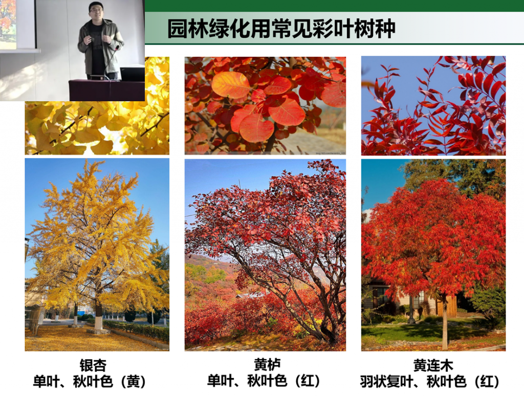
I attended the 6th China Smart Forestry Conference (智慧林业大会) held in Hangzhou from 25th to 27th April. I made a presentation about phenotyping traits measurement and breeding of color-leaved plants. I have also learned many new and very interesting studies there.
We welcome two new graduate students, Xiaoyan LIU from Hebei and Minghao SUI from Hunan, to join our team.
March
Invited by CIAPST (中国国际科技促进会低空经济分会), I made a presentation about low-altitude UAV remote sensing in agriculture, forestry, and ecology applications for the audiences who have no knowledge background of remote sensing.
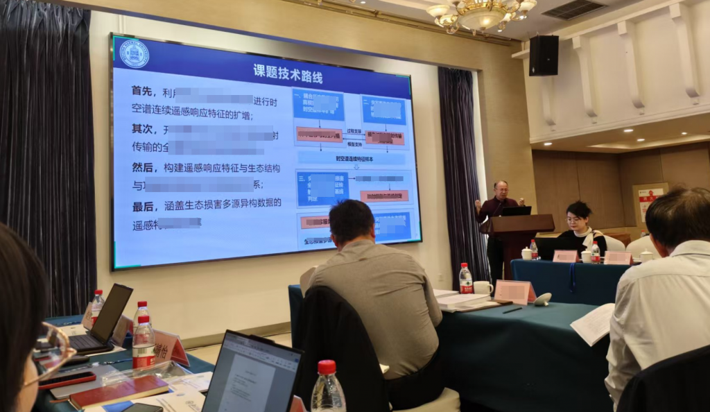
The Key R&D Program Project (突发事件即时遥感探测及生态损害评估技术与示范应用) implementation plan kick-off meeting was successfully held at Beijing Normal University.
February
From this semester, I have introduced a specialized elective course for undergraduates titled “Low-altitude UAV remote sensing of forestry”. Everyone can find the slides on this website (see Course).
January
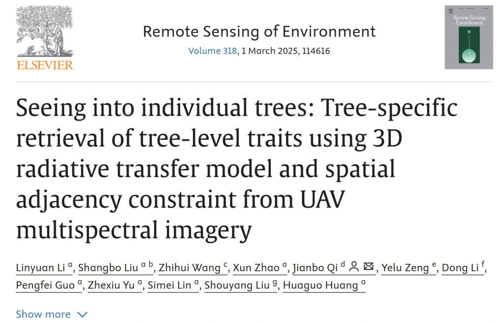
Our work about tree-level trait retrieval based on a physically-based model has been accepted and published in Remote Sensing of Environment. Congratulations, and many thanks to all co-authors.