July
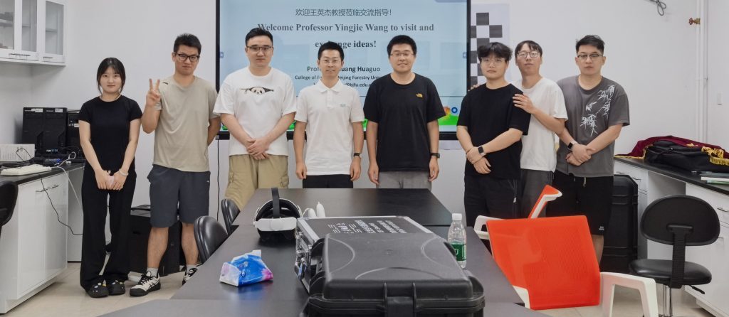
Prof. Yingjie WANG from CESBIO in France came to our lab and had an exchange with us about 3D radiative transfer modelling and applications.
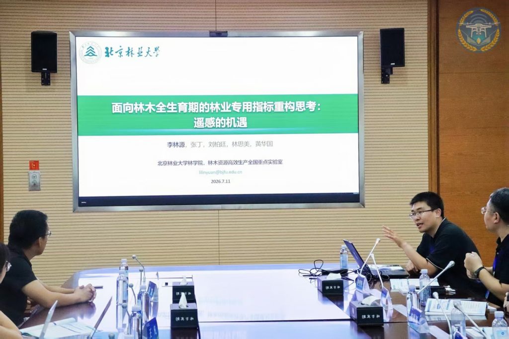
I made a presentation about the establishment of forestry-specific indicators across the lifecycle of trees based on remote sensing techniques during the conference on UAV remote sensing of agriculture held in Tsingtao, Shandong Province, on 11 July.
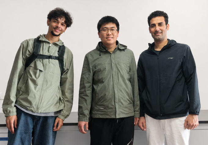
June
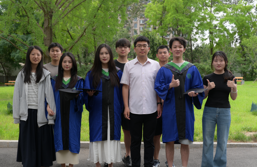
We take a group photo for three graduated students. Congratulations to them on earning their Master’s degree.
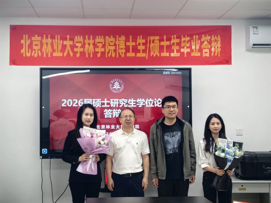
May
Congratulations to Miss Qing GUO (郭庆), Miss Yuehan LIU (刘玥含), and Mr. Ding ZHANG (张丁) for their successful thesis defense. Miss Qing GUO’s Master thesis was awarded as Beijing Forestry University excellent thesis.
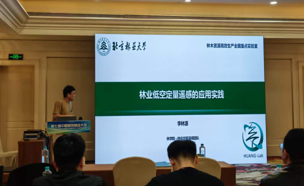
April
We welcome an international student, Thomas Gaston, from the University Paul-Sabatier in France, to have a 3-month internship in my group. His objective is to develop a portable tree measurement device to measure the DBH of trees.
I attended the 7th Smart Forestry Conference held in Fuzhou and made a presentation about the UAV-based applications in forestry scenarios.
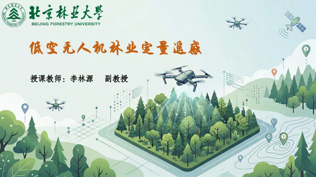
March
In this semester, I will record the course of low-altitude UAV-based quantitative remote sensing of forestry (低空无人机林业定量遥感) and upload all videos to Bilibili.com to facilitate all students who want to learn online. This course is specifically designed for those undergraduate students who have almost no background in remote sensing and plan to study vegetation remote sensing.
February
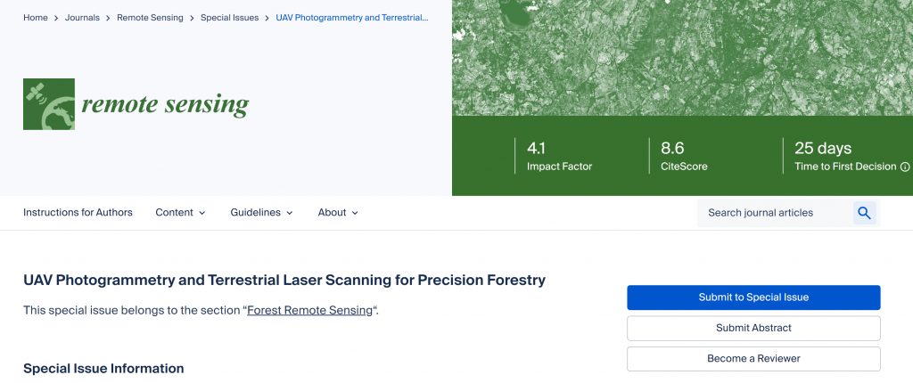
Together with Dr. Ningning ZHU (朱宁宁), Dr. Zhengyang Hui (惠振阳), Dr. Wenxia Dai (代文霞), we organized a special issue “UAV Photogrammetry and Terrestrial Laser Scanning for Precision Forestry” on Remote Sensing. Topics of interest cover a broad spectrum: from optical images to 3D point clouds, from understory to canopy, from tree-level to stand-level, and from structural analysis to functional inference.
January
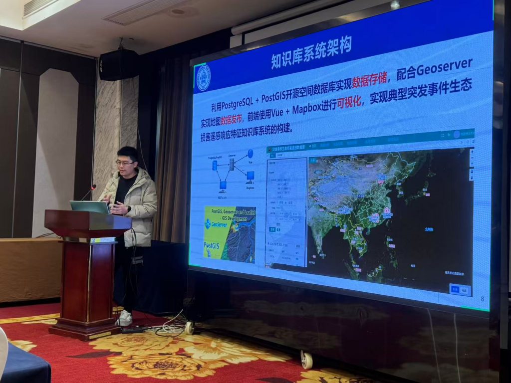
I attended the annual meeting of our sub-project (“突发事件生态损害即时遥感响应特征知识库构建研究”) of a National K&D Program held at Zhejiang University, Hangzhou. I am responsible for the contruction of a knowledge base system platform and presented the recent advances.